Our Inspection Process
1. Schedule
Book your inspection/project online or by phone.
2. Flight
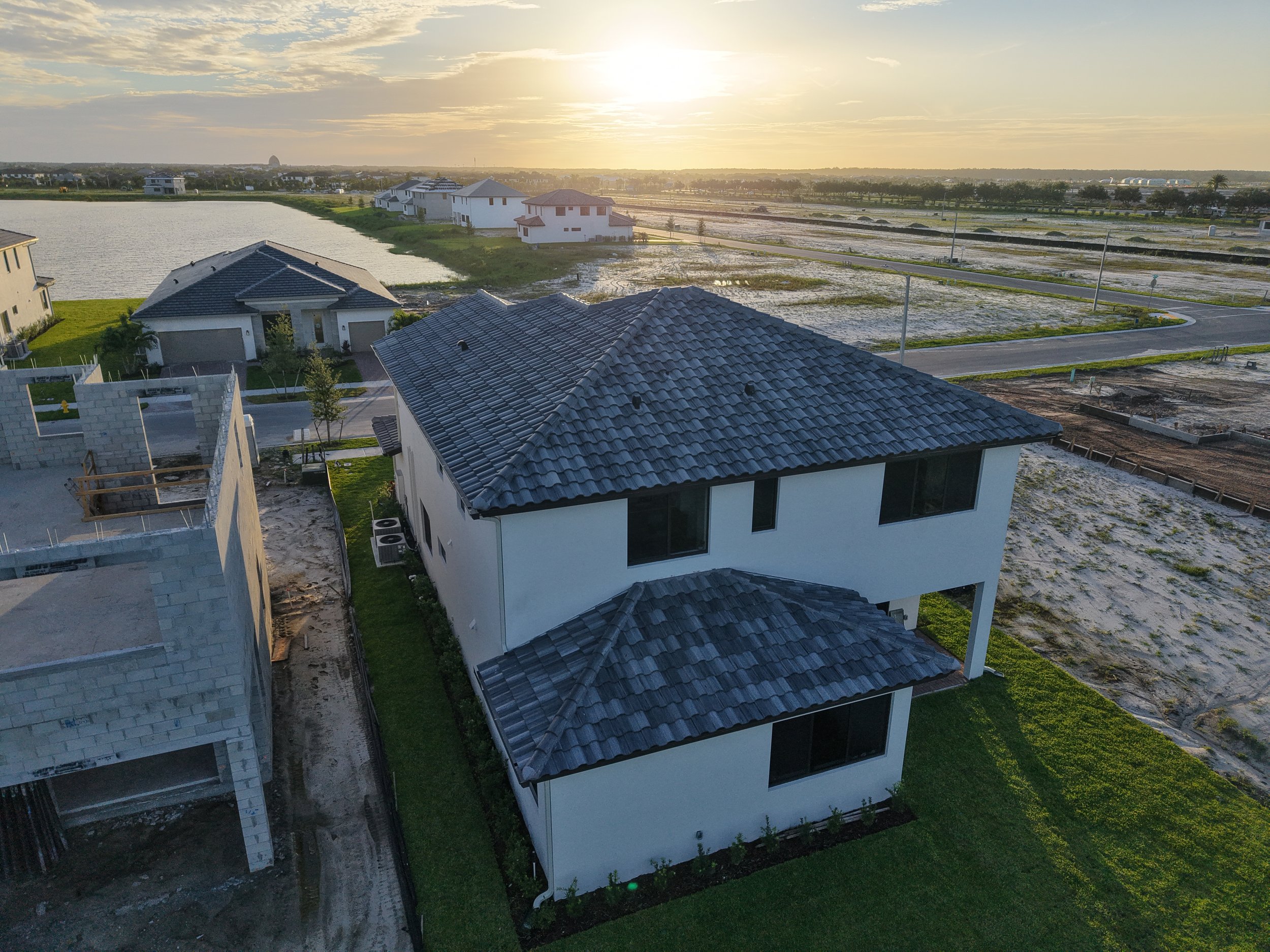
Our FAA-certified pilot safely captures aerial imagery of your property or project site.
3. Analysis
We review every image and identify areas requiring attention.
4. Report Delivery
Receive a detailed inspection/mapping report with photos, videos, and recommendations.
5. Pricing estimates
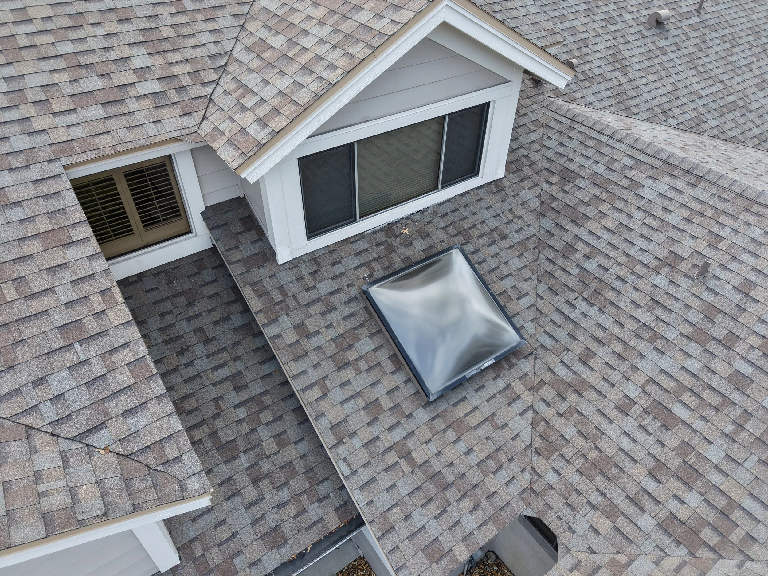
Standard Residential Home & Rooftop Inspection - $75-$225 (varies with lot size & necessary interior images)
Commercial or Industrial Construction sites and farm mapping - $305-$900 (varies with lot sizes and duration)
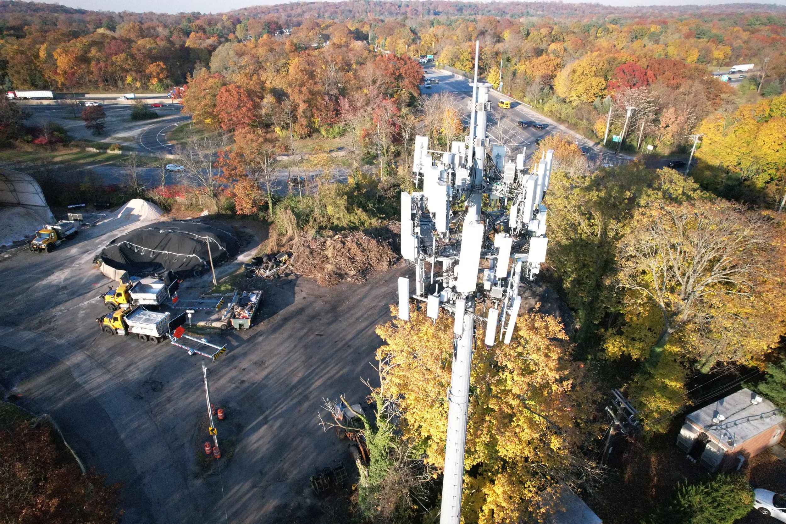
Cell towers, Wind turbines, Solar panels, Power lines - $175-$300 (varies with ground site inspection necessary)
Standard Aerial Property Showcasing - $349 (includes photos, cinematic drone clips, edits for social media)
What You'll Receive
Every inspection includes:
High-resolution aerial photos
4K drone video (when applicable)
Detailed inspection summary
Annotated images highlighting concerns
Digital report
Secure online delivery
Fast turnaround (typically within 24–48 hours)
Why Property Owners Trust Us
Licensed & FAA Part 107 Certified
Fully Insured
Professional Equipment
Fast Scheduling
Reliable Reporting
Transparent Pricing
Exceptional Customer Service